THE HIGHWAY WAS ALWAYS SHOWN WEST OF THE KAYSVILLE POWER LINES
Below is a UDOT aerial photo from 2001 showing BOTH LANES of the future Highway running to the WEST of the Kaysville Powerlines. (the top of the photo is actually WEST and the bottom is EAST) The Red lines represent the lanes of the future highway.
If you look closely just below the red lines, you can actually see the powerline towers and lines running parallel to the EAST of the road. The powerline towers are small white squares, and 2 of them can be seen near the apex of the black lines that form a triangle.
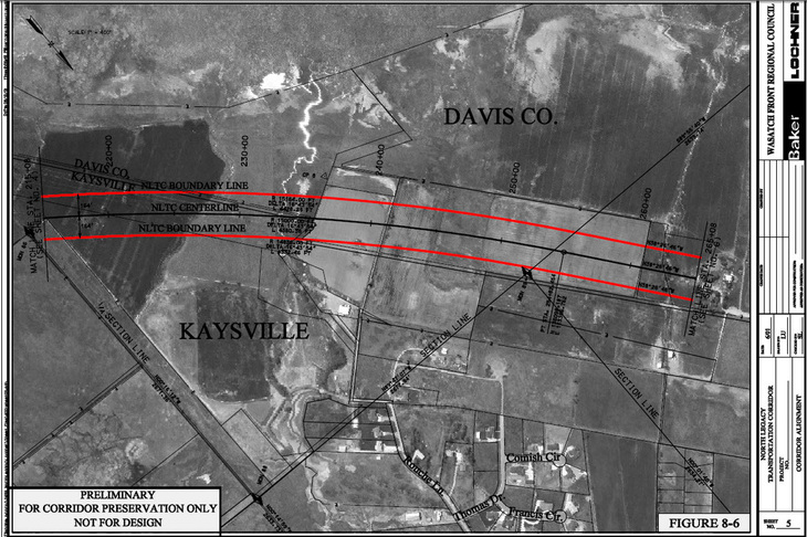
This image was created before the Wellington, Viewcrest, and other neighborhoods were even in existence. It further illustrates how Kaysville City, developers, home builders, and home owners were all told that the future highway would run WEST of the powerlines. We knew it was coming and had no issue with the road itself. The issue is now UDOT's decision to suddenly move it east of the lines and contradict all of its previous communications showing it to the WEST.
The original link to the above map is here: http://www.wfrc.org/cms/publications/north_legacy_corridor_study_2001/Fig8-06.pdf
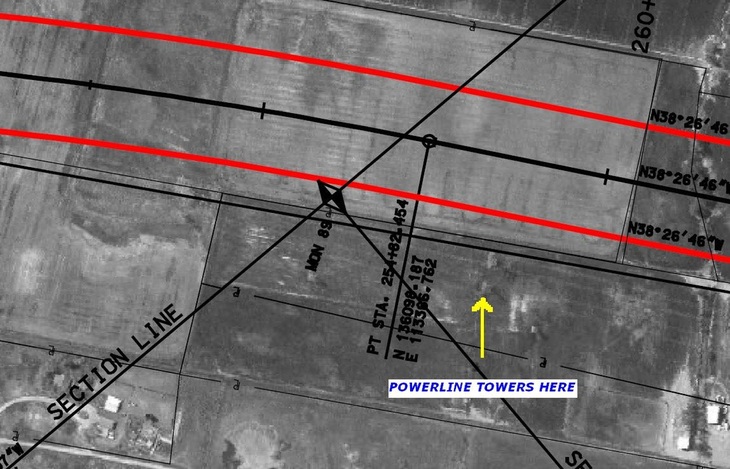
CLOSE-UP VIEW OF THE POWERLINE TOWERS AND THE POWERLINES THEMSELVES. (the powerlines can be seen as white lines running right-left parallel to the red lines and thru the towers marked by the yellow arrow)
KAYSVILLE CITY WAS ALWAYS TOLD THAT THE HIGHWAY WOULD BE WEST OF POWERLINES TOO!
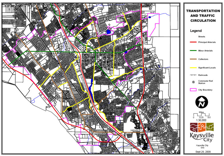
The Red Line at left illustrates the location of the future Highway as was communicated to Kaysville City in the past - WEST of the powerlines! NOTE THE DATE on the diagram: Sept 29, 2008. Again, UDOT's past correspondence always showed the highway WEST of the powerlines.
PHOTOS FROM OPEN HOUSE AT LEGACY CENTER, FARMINGTON: Feb 09, 2011
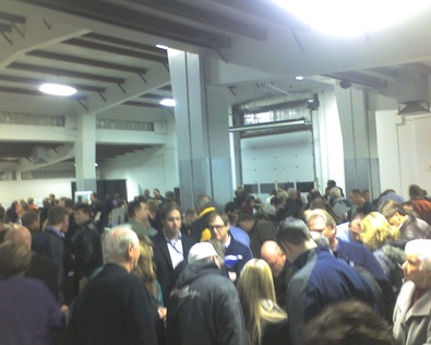
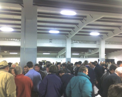
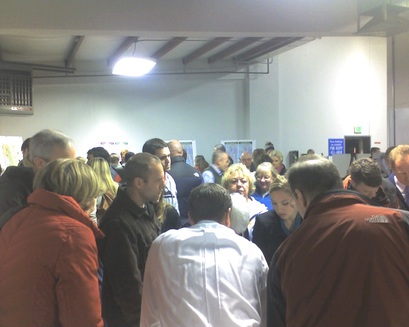
The Legacy Center was packed to the hilt with concerned residents ALL EVENING LONG! There was representation from Kaysville, Farmington, Layton, Fruit Heights, Centerville, and even as far away as OREM! Thank you to all for coming out and letting your voice be heard.